Tents were likely pitched near alleged launch site shortly after July 17
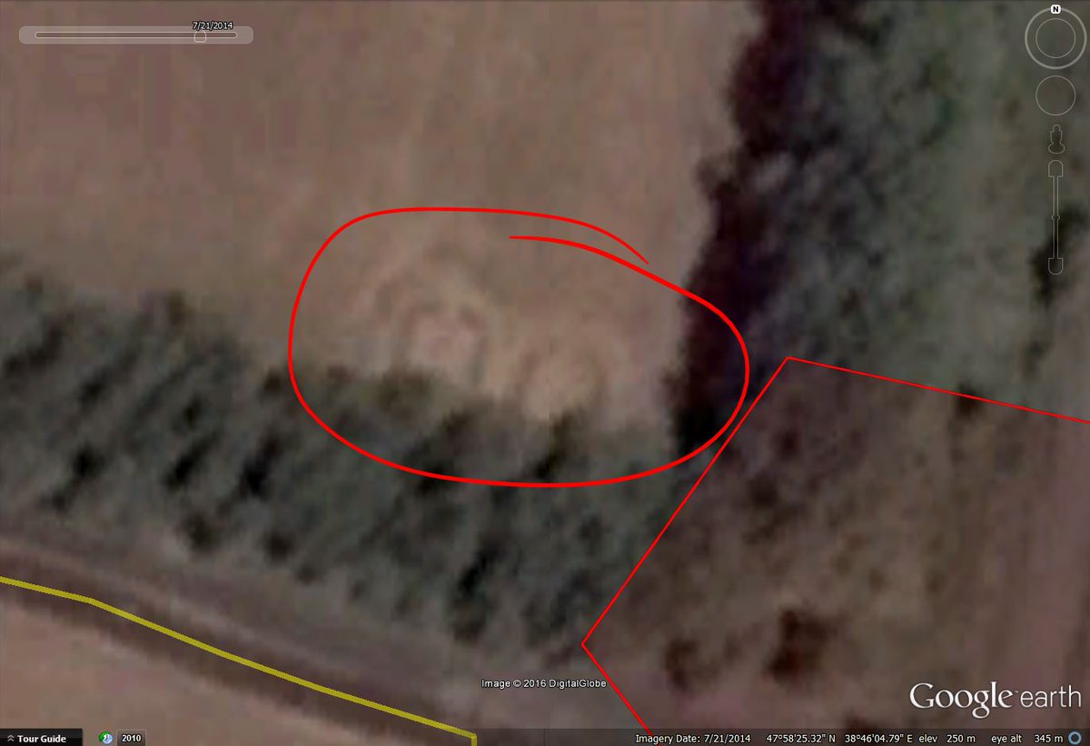
What looks like the contours of two tents a few hundred meters from the alleged launch site can be seen on Google Earth images.
The contour cannot be seen on July 16 images, but appear on July 21 images.
We can only guess why these tents were placed. There was a separatists checkpoint a few meters from this location.

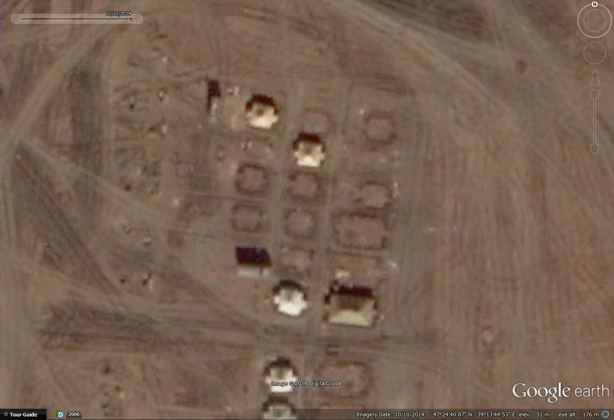
Blogger Putin found out the contour of is very similar to those of Russian tents. The photo below shows a camp in Golovinka.


> The contour cannot be seen on July 16 images
I guess if they were related to the Mh-17 shooting they’d be removed on 17th. So there would not have enough time to make those grass footpaths.
Putin: “very similar to those of Russian tents”.
Why? What we’re looking at are most likely trenches surrounding the tent areas, a basic method for sleeping dry. Boy scouts would do it exactly the same. And we see further, gasp, a *tent opening* (no trench there) at the most universal location!
e.g. http://preparednessadvice.com/shelter/sleeping-dry-camping-rain/
That statement on Russian tents then becomes to me clearly biased and rather random sounding. Although there’s some chance they actually are Russian, considering some of the suggested circumstantial evidence. But the initial suggestion made is not warranted based on these submitted images.
One item of interest on the July 16th image is you can see the trail of a tracked heavy vehicle (tank? Kamaz? other?) going offroad just before the checkpoint location.
Someone dropping of supplies and tents maybe?
It appears to drive off road.
The marks in the farmers field appear to show upon July 2.
So that appears to be a different vehicle.
It is difficult to see the offroad part in later dates.
But you can see the marks in the field.
Fare thee well