What makes the MH17 crash site strategically so important for Ukraine?
While before July 17 the area north of where MH17 crashed was under control of the separatists and did not seem to be important for the Ukraine Army, this changed soon after MH17 crashed. Lets see why the Ukraine army all of a sudden started heavy fighting and gained control of a narrow strip of land north of the crash site.
This image shows the situation at July 16. The area where MH17 would crash one day later is situated around where the red arrow points to.
The city where the arrow starts is Debal’tseve. The city is before July 17 under control of the separatists.
A few days later after the crash, the Ukraine army started heavy fights north of the area where MH17 crashed. This was around July 26 when all the bodies has arrived in Kharkiv which was under control of Kiev. The Kiev government said the army wanted to conquer the area around the crash site.
Human Rights Watch report clearly indicated Ukraine Army forces are using Grads rockets targeted at the city of Donetsk and its civilians.
. The attacks’ proximity to the front line also makes it unlikely, and in some cases impossible, that insurgent forces were responsible for the attacks. In two of the attacks, rockets hit on or near insurgent bases and checkpoints at the same time as they hit residential areas, indicating government forces were responsible.
Around July 26 the Netherlands and Australia were waiting for permission of the Ukraine parliament to allow unarmed policemen to sent to the crash site. Their role would be to guard the site.
At July 27 Associated Press reports:
Ukrainian armed forces mounted a major onslaught against pro-Russian separatist fighters Sunday in an attempt to gain control over the area where a Malaysia Airlines plane was downed earlier this month.
In the mean while a recovery team tried for many days to reach the crash site. Many times they were halted at check points and had to return to their base at Donetsk.
At July 31 the Ukraine parliament gave permission for the mission.
The New York Times reported on July 31:
Ukrainian officials said they had suspended offensive operations against the rebels to allow the monitors to reach the site safely. Commanders at Ukrainian military positions near the site confirmed that they had been ordered to halt their advance.
The fighting was so intense that the international recovery has a lot of difficulties to reach the crash site.
The Dutch mission arrived at the crash site for the first time at July 31. This time they took a different, much longer route to reach the site.
Even then there was heavy fighting.
During the next days the recovery mission was able to search only 6 % of the total crash site. Most parts were unsafe to enter.
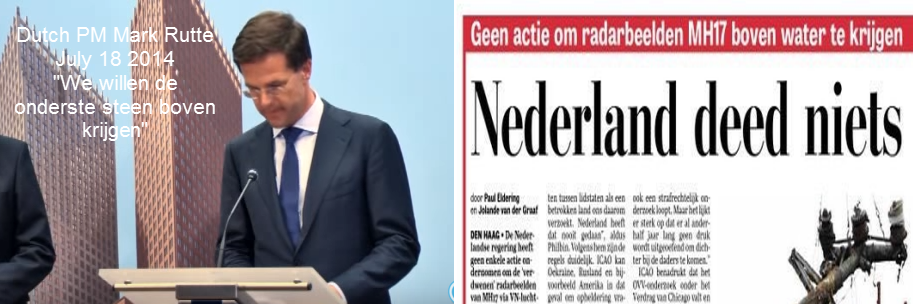
At August 6 PM Rutte of the Netherlands said the recovery team will stop the mission because of the safety situation.
At August 7 The Ukrainian government said it was suspending a ceasefire with separatist rebels at the crash site of the Malaysian airliner after an international recovery mission had been halted (Reuters)
PM Rutte is still angry at both Ukraine and the separatists according this article.
At September 14 OSCE visited the western part of the crash site. Here is the report. A OSCE car was hit by mortars. An interesting part of the report is this
Due to the proximity of the checkpoint and incoming fire, the SMM moved away on the road towards Maloorlivka in order to reach Kirovske, to the south, where the SMM was told it would be escorted by “DPR” representatives to Donetsk through Shakhtarsk. While en route to the “DPR” checkpoint, the SMM observed impacts close to the SMM vehicles, incoming from the north, and aimed at “DPR” positions. The SMM decided to pass through the first “DPR” checkpoint located at the entrance of Kirovske. The SMM could not use the parallel road as the SMM observed that this path was mined.
The map showing the positions of the Ukraine Army and separatists. And here another mapof the area at September 14.
Both show that north of where the OSCE was hit by mortars, Ukraine Army had positions. So the shooting at OSCE was likely done by Ukraine troops.
The map below shows the sitation at October 10. ()
It is clear the city of Debal’tseve (just north of the crash site) is now under full control of the Ukraine army.
If the Ukraine Army did not advance eastbound towards Debal’tseve the area would be relative quiet and the investigation could be done. It is remarkable that as soon as the bodies were recovered the Ukraine Army started to feight their way towards the crashsite.
Now both parties are very close to the crash site.
So what could be the reasons for Ukraine forces to conduct military activities from the area north of the MH17 crash site? And why keep the area under control since end of July?
- to put pressure on the EU and the Netherlands to help Ukraine with military aid , EU membership or some other advantage. Refusal to help means Ukraine will not retreat out of the area . The Netherlands and other countries will as a result not be able to recover all personal belongings and perform an investigation into cause and responsibility of the shot down.
- to prevent or delay an investigation into the cause of the accident because Ukraine is guilty of the shot down. See this Russia Today article
- to put the blaim on the separatists for blocking access to the crash site
- to destroy evidence at the crash site. Journalists saw a couple of huge craters near debris.
Time will tell why Ukraine advanced to the site and why it does not retreat and does not respect cease fires so investigations can start.
kaartje is niet helemaal volledig,
UKR bezat een soort eiland in bezet gebied
https://www.google.nl/maps/place/48%C2%B011'25.8%22N+38%C2%B028'40.1%22E/@48.1905111,38.4777972,586m/data=!3m1!1e3!4m5!3m4!1s0x0:0x0!8m2!3d48.1905111!4d38.4777972
ligt bijna in een rechte lijn t.o.v. vermoedelijke buk lanceerplaats
Hier een video van de bevoorrading naar deze stelling.
http://hronika.info/videonovosti/40865-ukrainskie-razvedchiki-postroili-podzemnyy-gorodok-v-zone-ato-video.html